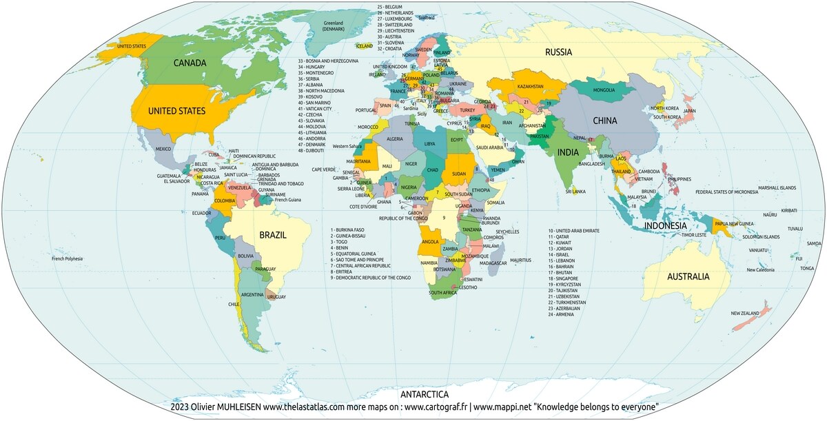
Large world map 2024 with countries in color
We offer you free and good quality world maps, continents and countries. Many geographical maps to download and print for free.
Large world map with countries
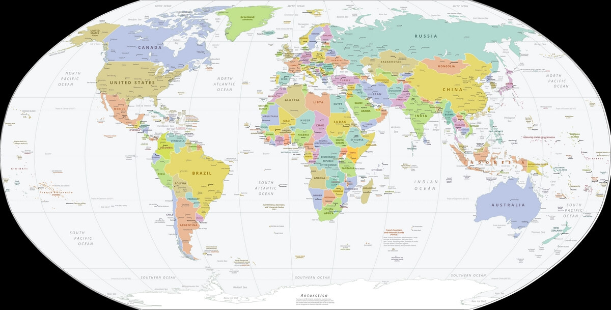
World map political 2024
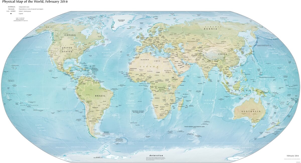
World map physical 2016

Download: JPG (1200 x 651 pixels) | JPG (2500 x 1356 pixels) | JPG (9022 x 4893 pixels) | PNG | SVG
Description: Physical map of the world with countries, capitals and major cities. Robinson projection.
License: Royalty free
Author: US Government, Central Intelligence Agency
Source file: CIA World Fact Book - Physical world (view)
Description: Physical map of the world with countries, capitals and major cities. Robinson projection.
License: Royalty free
Author: US Government, Central Intelligence Agency
Source file: CIA World Fact Book - Physical world (view)
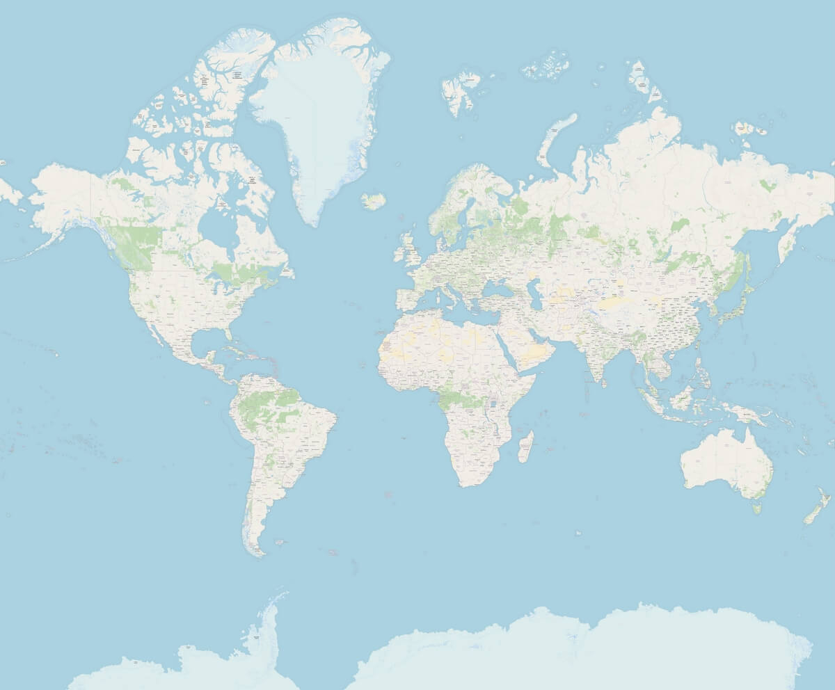
Detailed world map
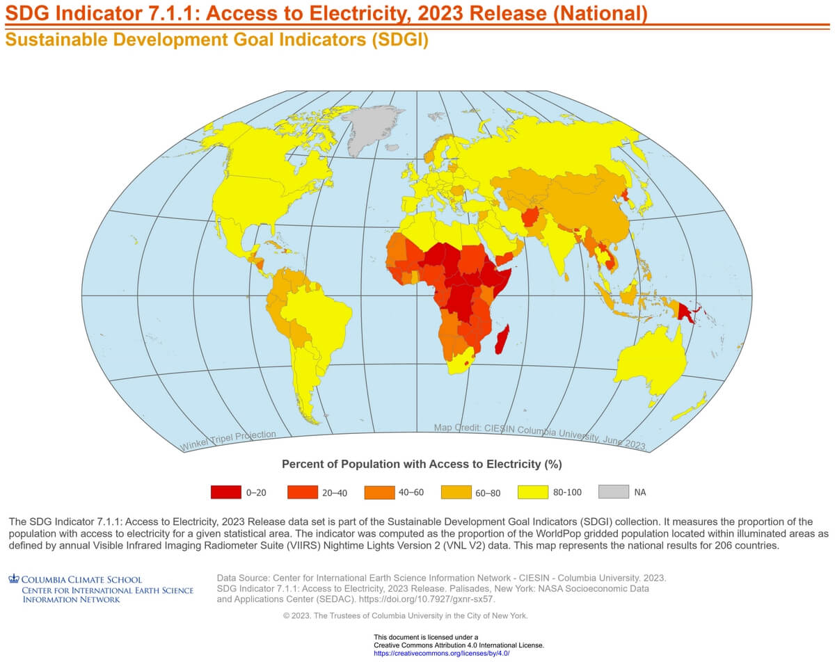
World map with access to electricity

Download: JPG (1200 x 952 pixels) | JPG (3540 x 2807 pixels) | PNG | PDF
Description: World map with access to electricity by country in 2023.
License: CC BY 4.0
Author: Center for International Earth Science Information Network (CIESIN)
Source file: Columbia University of New York (Socio Economic Data Applications Center SEDAC)
Description: World map with access to electricity by country in 2023.
License: CC BY 4.0
Author: Center for International Earth Science Information Network (CIESIN)
Source file: Columbia University of New York (Socio Economic Data Applications Center SEDAC)
